
Home / About Us
Independent by design.
We don't design buildings and we don't sell land. We measure what's there, so the people who do can move with confidence.
We don't design buildings and we don't sell land. We measure what's there, so the people who do can move with confidence.
Real Estate Surveying started in 2008 with a single field crew and one total station, working boundary checks for early master-planned communities. The real estate market was moving fast, and the surveying firms serving it were generalists first, land specialists second.
Eighteen years on, that's still the gap we fill. We work exclusively with real estate developers and investors, which means every service we offer, from topographic survey to GIS analysis, is built around the decisions this industry actually has to make: what to buy, what to build, and where the boundary really sits.
Independence is the whole model. We hold no stake in land, no relationship with a single developer, and no incentive beyond getting the measurement right.
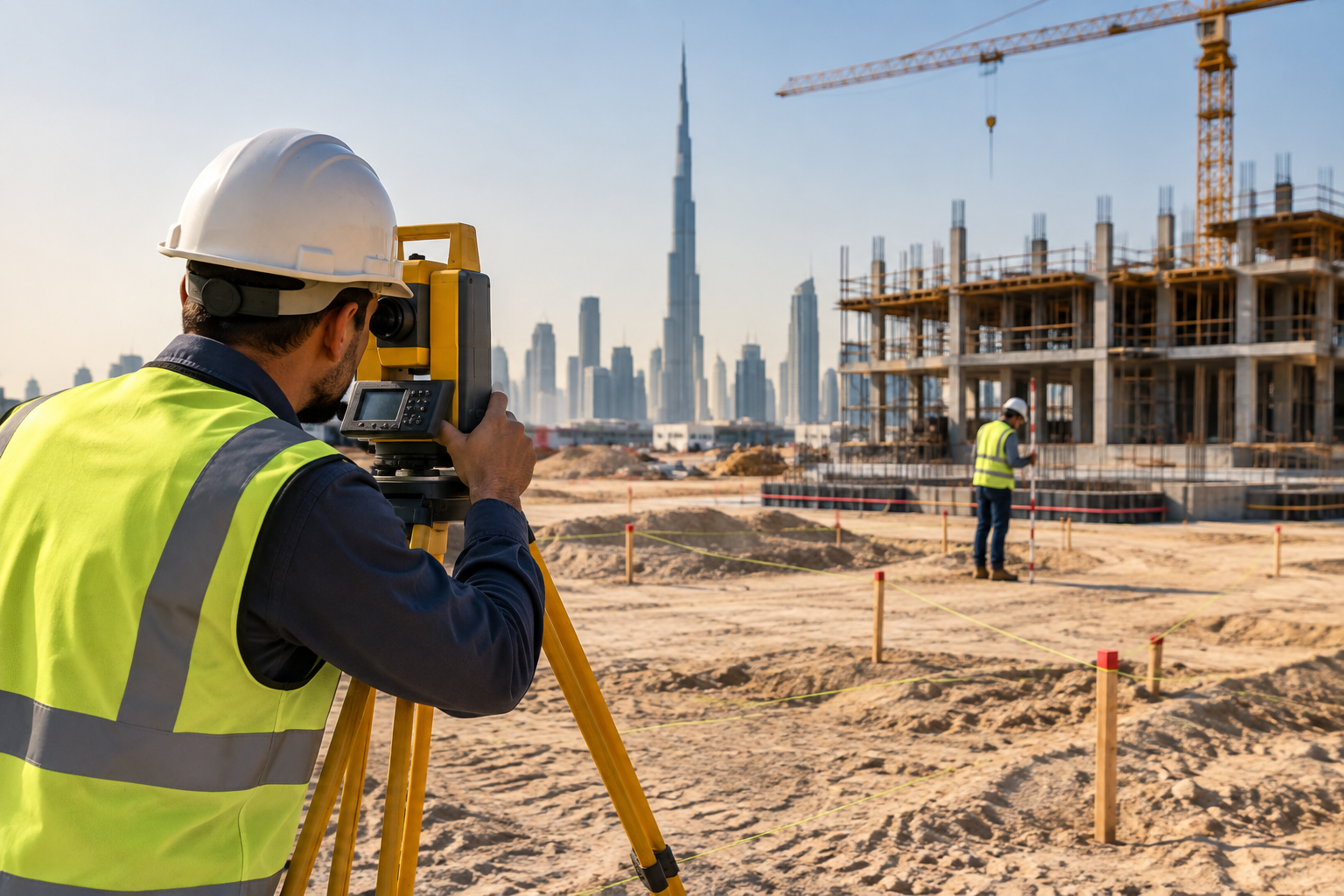
We're paid for the survey, not for the outcome. No commission is tied to a sale price, a deal closing, or a favourable reading of a boundary.
Every dataset is captured on site, cross-checked against control points, and reviewed by a second licensed surveyor before it reaches a client.
Site data, valuations context, and acquisition intent stay between us and the parties you authorise, under NDA where it's asked for.
Started with a single field crew, working boundary surveys for early master-planned communities.
Expanded into on-site grid and level control as clients began building the plots we had surveyed.
Built a dedicated spatial analysis team to serve institutional investors comparing multiple sites at once.
Added UAV survey capability, cutting large-parcel turnaround time by more than half.
Passed the 500-survey mark and extended field coverage to all seven Emirates.
Launched a dedicated division for as-built and 3D scanning work on occupied assets.