
Home / Services
Survey services built for real estate decisions.
Six disciplines, one standard of accuracy — from a raw parcel of land to a fully occupied asset.
Six disciplines, one standard of accuracy — from a raw parcel of land to a fully occupied asset.

We record the ground exactly as it is: elevation, contours, spot heights, and every visible feature on site. This is the base layer every architect, engineer, and planning authority designs against, so it has to be right the first time.
Contour mapping at custom intervals
Spot-level and benchmark data
Existing feature and above-ground utility location
Cut-and-fill volume reporting
Digital terrain model (DTM) deliverables
Before a plot changes hands, its legal extent needs to be beyond dispute. We re-establish boundaries against title deeds and municipal cadastral records, and flag encroachments or easements while there's still time to act on them.
Title deed and cadastral record verification
Corner pin location and re-establishment
Encroachment and easement identification
Area calculation for title and registration
Boundary dispute reporting for legal proceedings

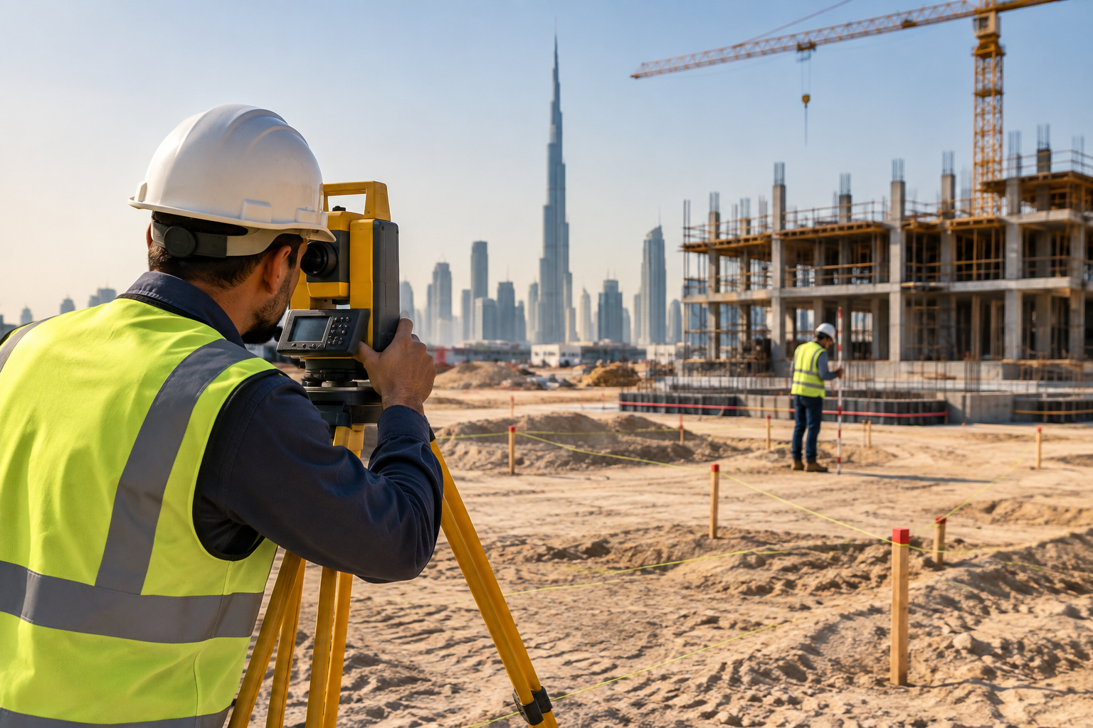
Design drawings only matter once they're translated onto the ground. We stake grid lines, column centres, and foundation levels to the tolerance your contractor can build to, then verify as-built work throughout the programme.
Grid line and column centre staking
Foundation and slab level control
As-built verification against approved drawings
Ongoing site control point maintenance
Structural deformation and settlement monitoring
For large land holdings and master-planned communities, a UAV survey captures an entire parcel in a single flight. You get high-resolution orthomosaics, contour data, and 3D models in days, not weeks.
High-resolution orthomosaic imagery
Contour and DTM generation from aerial capture
3D point cloud and mesh models
Progress monitoring for phased developments
Rapid turnaround on large land parcels


Zoning, utilities, flood risk, ownership, and raw survey data rarely live in one place. We layer them into a single spatial model, so an investment committee can compare sites on the same criteria instead of piecing it together manually.
Zoning and land-use overlay mapping
Flood-risk and environmental data layers
Utility and infrastructure mapping
Portfolio-level site comparison dashboards
Data delivered in GIS-ready formats
Acquiring an occupied asset means trusting the numbers on the floor plan. We produce precise as-built drawings and volumes of existing structures for due diligence, fit-out planning, and ongoing asset management.
As-built floor plans and elevations
Gross floor area and leasable area calculation
3D laser scanning for complex structures
Condition and defect documentation
BIM-ready deliverables on request

From first call to signed report, in four stages.
We review title documents, drawings, and your timeline to define the exact scope and deliverables.
Licensed surveyors capture data on site using RTK-GPS, total stations, and UAV platforms where needed.
Every dataset is cross-checked against control points and reviewed by a second surveyor before drafting.
You receive a signed, licensed report in the format your team needs, with a walkthrough call included.